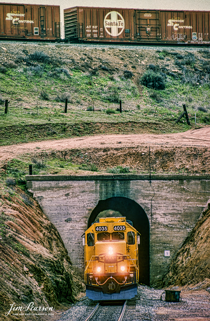
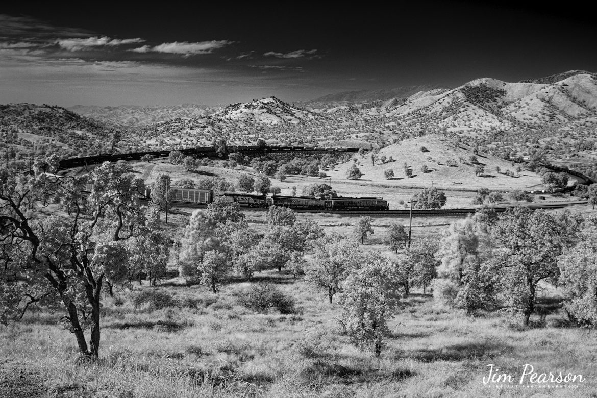
In this Saturday’s Infrared photo I caught BNSF 7904, 7853 and 2167 leading an eastbound train through the famous Tehachapi Loop on the Union Pacific Mojave Subdivision at Keene, California, on September 18th, 2024.
According to Wikipedia: The Tehachapi Loop is a 3,779-foot-long (0.72 mi; 1.15 km) spiral, or helix, on the Union Pacific Railroad Mojave Subdivision through Tehachapi Pass, of the Tehachapi Mountains in Kern County, south-central California. The line connects Bakersfield and the San Joaquin Valley to Mojave in the Mojave Desert.
Rising at a steady two-percent grade, the track gains 77 feet (23 m) in elevation and makes a 1,210-foot-diameter (370 m) circle. Any train that is more than 3,800 feet (1,200 m) long—about 56 boxcars—passes over itself going around the loop. At the bottom of the loop, the track passes through Tunnel 9, the ninth tunnel built as the railroad was extended from Bakersfield.
The line averages about 36 freight trains each day. Passenger trains such as Amtrak’s San Joaquin are banned from the loop, although the Coast Starlight can use it as a detour. Its frequent trains and scenic setting make the Tehachapi Loop popular with railfans. In 1998, it was named a National Historic Civil Engineering Landmark. It is also designated as California Historical Landmark #508.
One of the engineering feats of its day, the Loop was built by Southern Pacific Railroad to ease the grade over Tehachapi Pass. Construction began in 1874, and the line opened in 1876.
Tech Info: Fuji XT1 converted to Infrared, RAW, Nikon 24-70, @24mm, f/4, 1/1000, ISO 100.


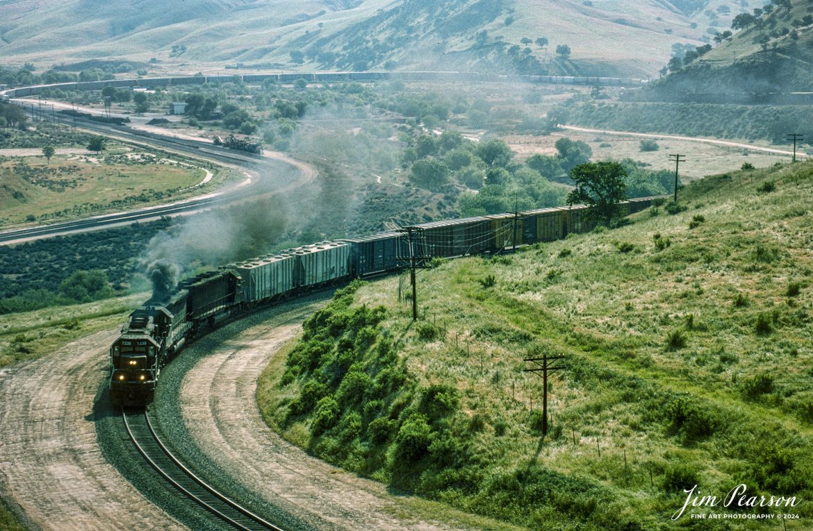
![Santa Fe 5404 leads 8 locomotives as they climb upgrade through the Tehachapi Pass in central California in during early 1995 passing a caboose parked in a house track. Unfortunately I can't remember off the top of my head where this spot is at or what it's called. Anyone know?
According to Wikipedia: Tehachapi Pass (Kawaiisu: Tihachipia, meaning "hard climb") is a mountain pass crossing the Tehachapi Mountains in Kern County, California. Traditionally, the pass marks the northeast end of the Tehachapi’s and the south end of the Sierra Nevada range.
The route is a principal connector between the San Joaquin Valley and the Mojave Desert. The Native American Kitanemuk people used the pass as a trade route before the American settlement of the region in the 19th century. The main line of the former Southern Pacific Railroad opened though the pass in 1876;[4] the tracks are now owned by the Union Pacific Railroad and shared with BNSF Railway as the Mojave Subdivision. U.S. Route 466 was built in the 1930s, and the road is now State Route 58. The Pass is also the route of the planned California High-Speed Rail line.
Tech Notes: Nikon F3 Film Camera, Nikon 300mm, f/stop and shutter speed not recorded
#railroad #railroads #train #trains #bestphoto #railroadengines #picturesoftrains #picturesofrailway #bestphotograph #photographyoftrains #trainphotography #JimPearsonPhotography](http://www.jimpearsonphotography.com/wp-content/uploads/2024/06/WEB-03.1995-SF-5404-in-the-Tehachapi-Pass-1170x762.jpg)
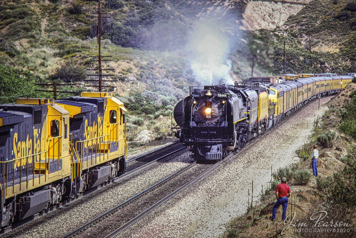
![A Southern Pacific tank train makes it's way through the Cajon Pass in Sothern California in March of 1995 with 5 units pulling hard.
I spent a lot of years railfanning the pass between 1981 and 1995! It's a great place to catch trains and I've been back several times over the years since then.
In fact I'm headed back again this coming September for a week or so to see how much it has changed since I was last there several years ago. In fact, it was before I had a drone, so I'm really looking forward to railfanning from the air this next trip!
According to Wikipedia: Cajon Pass is a mountain pass between the San Bernardino Mountains to the east and the San Gabriel Mountains to the west in Southern California. Created by the movements of the San Andreas Fault, it has an elevation of 3,777 ft (1,151 m).[1] Located in the Mojave Desert, the pass is an important link from the Greater San Bernardino Area to the Victor Valley, and northeast to Las Vegas. The Cajon Pass area is on the Pacific Crest Trail.
Cajon Pass is at the head of Horsethief Canyon, traversed by California State Route 138 and railroad tracks owned by BNSF Railway and Union Pacific Railroad. Improvements in 1972 reduced the railroad's maximum elevation from about 3,829 to 3,777 feet (1,167 to 1,151 m) while reducing curvature. Interstate 15 does not traverse Cajon Pass, but rather the nearby Cajon Summit. The entire area, Cajon Pass and Cajon Summit, is often referred to as Cajon Pass, but a distinction is made between Cajon Pass and Cajon Summit.
Nikon F3 Camera, Nikon 70-300mm lens, f/stop and shutter speed not recorded](http://www.jimpearsonphotography.com/wp-content/uploads/2024/06/WEB-03.1995-SP-Train-at-Morman-Rocks-1170x675.jpg)
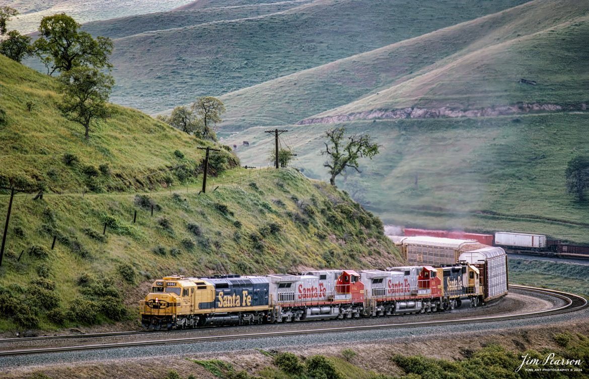
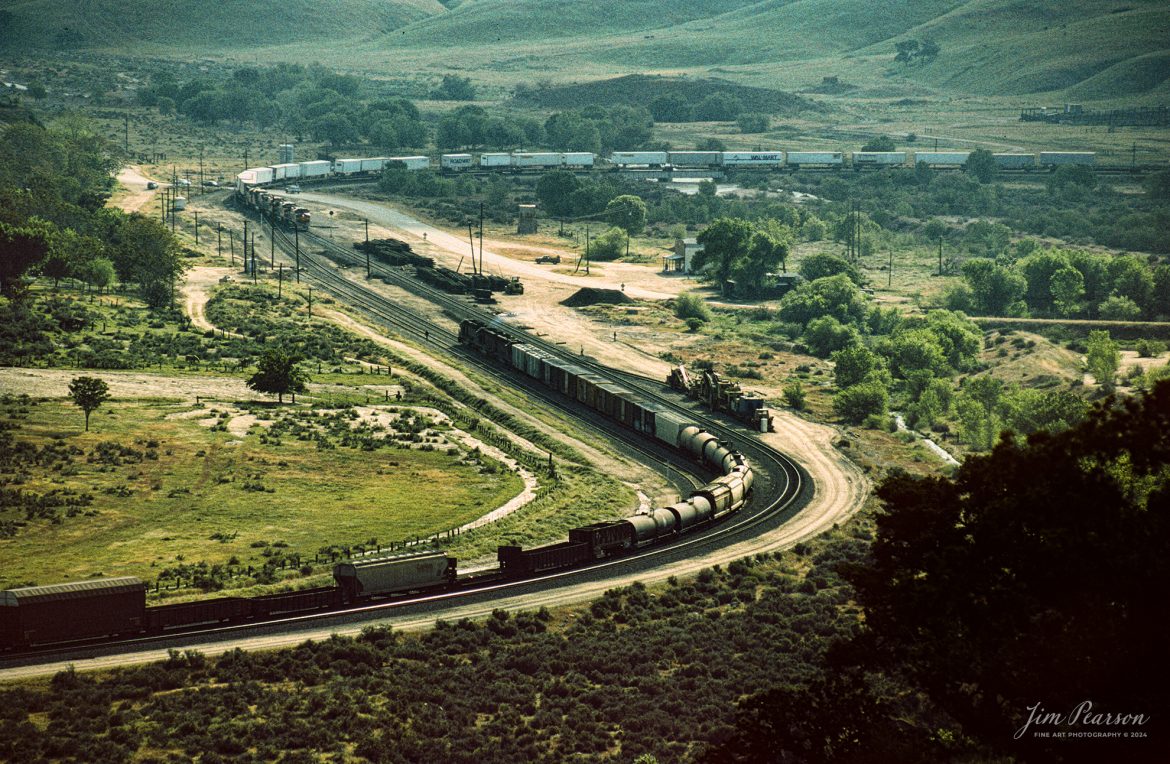
![Santa Fe 947 leads the way as it climbs upgrade through the Tehachapi Pass in northern California in August of 1995.
According to Wikipedia: Tehachapi Pass (Kawaiisu: Tihachipia, meaning "hard climb") is a mountain pass crossing the Tehachapi Mountains in Kern County, California. Traditionally, the pass marks the northeast end of the Tehachapi’s and the south end of the Sierra Nevada range.
The route is a principal connector between the San Joaquin Valley and the Mojave Desert. The Native American Kitanemuk people used the pass as a trade route before the American settlement of the region in the 19th century. The main line of the former Southern Pacific Railroad opened though the pass in 1876;[4] the tracks are now owned by the Union Pacific Railroad and shared with BNSF Railway as the Mojave Subdivision. U.S. Route 466 was built in the 1930s, and the road is now State Route 58. The Pass is also the route of the planned California High-Speed Rail line.
Tech Notes: Nikon F3 Film Camera, Nikon 300mm, f/stop and shutter speed not recorded
#railroad #railroads #train #trains #bestphoto #railroadengines #picturesoftrains #picturesofrailway #bestphotograph #photographyoftrains #trainphotography #JimPearsonPhotography](http://www.jimpearsonphotography.com/wp-content/uploads/2024/05/WEB-08.1995-SF-947-climbs-the-grade-in-Tehachapi-Pass.jpg)
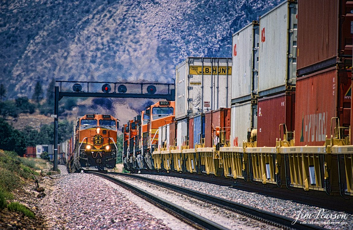
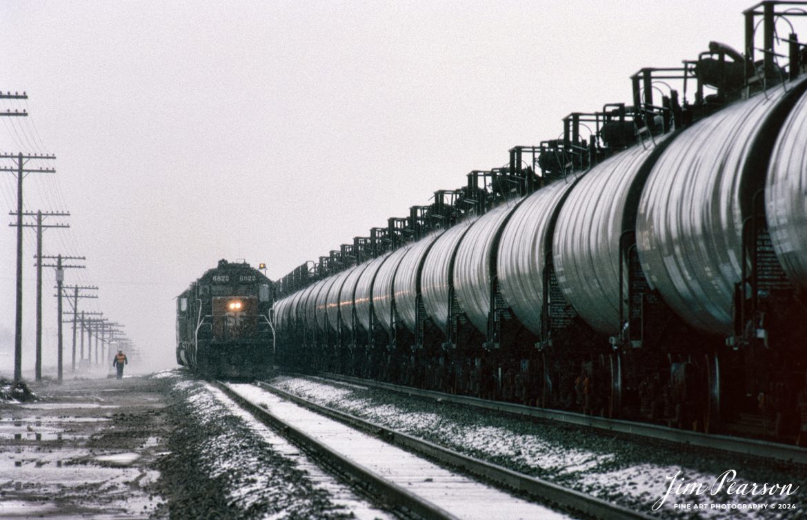
![A Loram Rail grinder makes its way through the Cajon Pass in Southern California in April of 1995.
I spent a lot of years railfanning the pass between 1981 and 1995! It's a great place to catch trains and I've been back several times over the years since then.
In fact I'm headed back again this coming September for a week or so to see how much it has changed since I was last there several years ago. In fact, it was before I had a drone, so I'm really looking forward to railfanning from the air this next trip!
According to Wikipedia: Cajon Pass is a mountain pass between the San Bernardino Mountains to the east and the San Gabriel Mountains to the west in Southern California. Created by the movements of the San Andreas Fault, it has an elevation of 3,777 ft (1,151 m).[1] Located in the Mojave Desert, the pass is an important link from the Greater San Bernardino Area to the Victor Valley, and northeast to Las Vegas. The Cajon Pass area is on the Pacific Crest Trail.
Cajon Pass is at the head of Horsethief Canyon, traversed by California State Route 138 and railroad tracks owned by BNSF Railway and Union Pacific Railroad. Improvements in 1972 reduced the railroad's maximum elevation from about 3,829 to 3,777 feet (1,167 to 1,151 m) while reducing curvature. Interstate 15 does not traverse Cajon Pass, but rather the nearby Cajon Summit. The entire area, Cajon Pass and Cajon Summit, is often referred to as Cajon Pass, but a distinction is made between Cajon Pass and Cajon Summit.
Nikon F3 Camera, Nikon 300mm lens, f/stop and shutter speed not recorded](http://www.jimpearsonphotography.com/wp-content/uploads/2024/04/WEB-04.1995-LoRam-in-Cajon-Pass-1170x762.jpg)