This is by no means a complete list of places to shoot along the Paducah and Louisville Railway (PAL). I’ll update this list as time goes by. If you have a favorite spot send me a google map link and I’ll add it to the list. I know there’s a bunch around Louisville and Paducah I haven’t found yet.
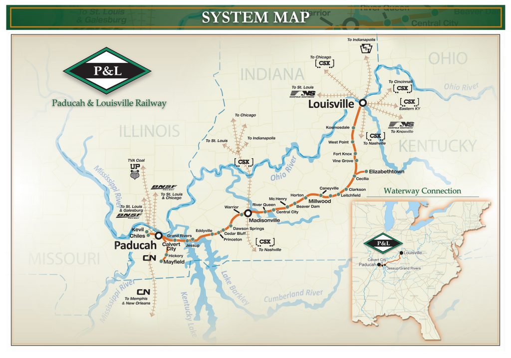
NS runs trains via Louisville on the PAL to Madisonville to pick up coal, usually at Warrior in Nebo, Ky. CSX, UP and NS run coal/coke trains between Madisonville and Calvert City, Ky to the coal loadout there. BNSF and UP I’ve found running to Calvert City also from Paducah.
For the most part the Paducah and Louisville Railway follows Highway 62 most of the way between Paducah and Louisville, Ky. It does leave it from time to time, but it always comes back to 62. If you keep in mind which side of the highway the tracks are on you can take side roads to check out the crossings. There’s many of them I haven’t listed here. These are my favorites from a picture standpoint.
PAL runs a lot of trains during the night, but they also run during the day. I’d say an average over 24 hours would be in the neighborhood of 10 between Louisville and Paducah, depending on the day. Weekends seem to be the slowest. This includes trains that don’t go all the way to Louisville from Paducah and vise versa. When you find a train to photograph my advice is to follow it and photograph it at different locations as it may be awhile before another one comes along.
Always remember to be safe and do not trespass!
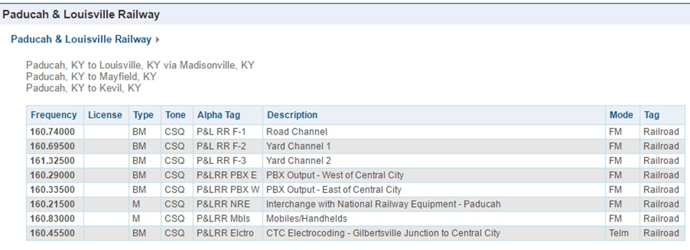
PAL Frequencies ↓
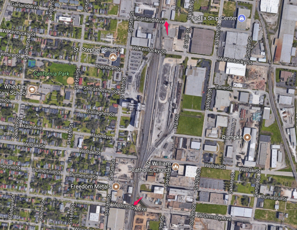
PAL Yards, Louisville, Ky ↓
https://www.google.com/maps/@38.2377849,-85.7760727,1469m/data=!3m1!1e3
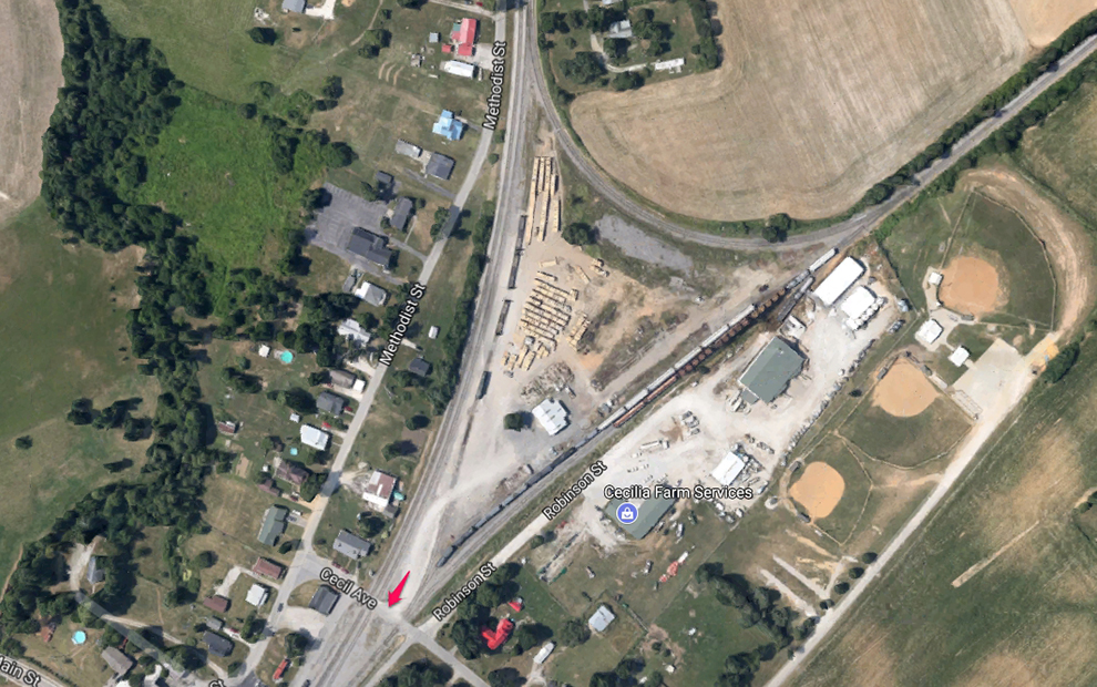
Robinson St, Cecilia, Ky PAL Yard ↓
https://www.google.com/maps/@37.66642,-85.9558294,301m/data=!3m1!1e3
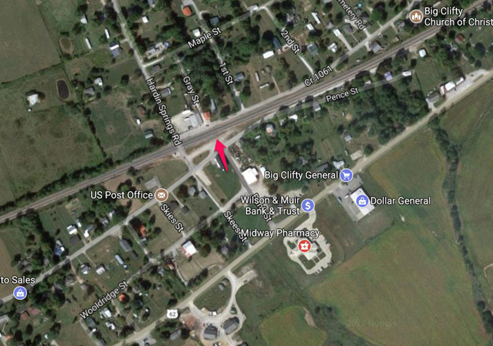
Main St, Big Clifty, Ky ↓
https://www.google.com/maps/@37.5443652,-86.1532786,821m/data=!3m1!1e3
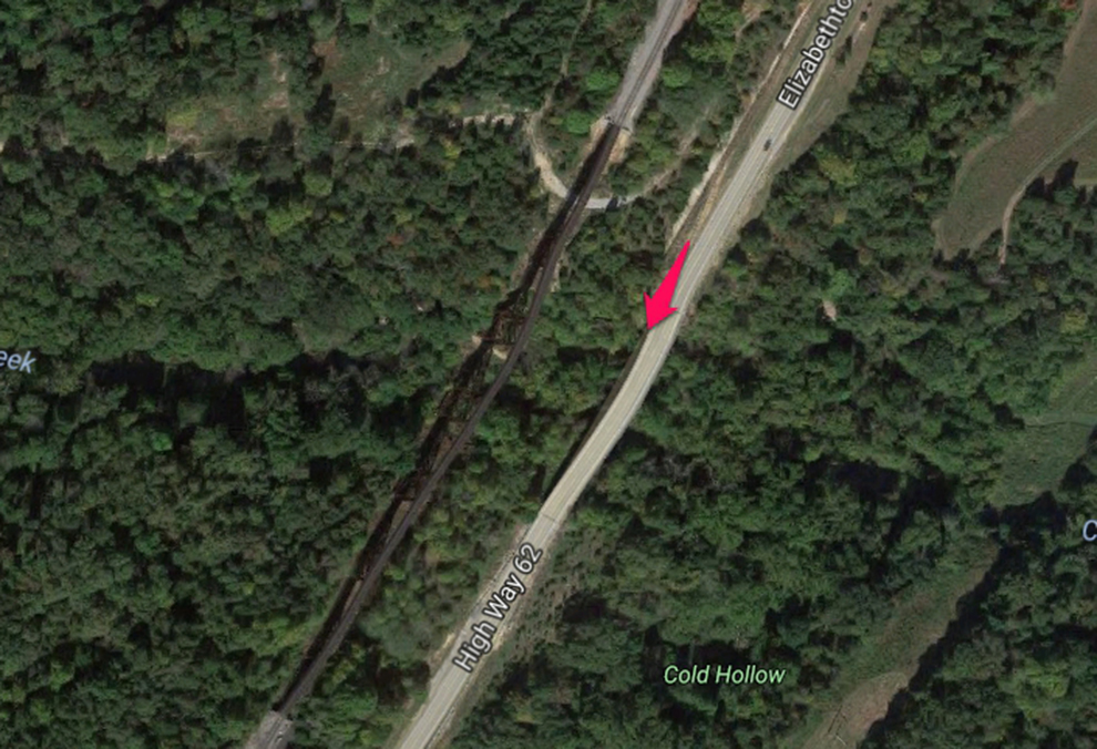
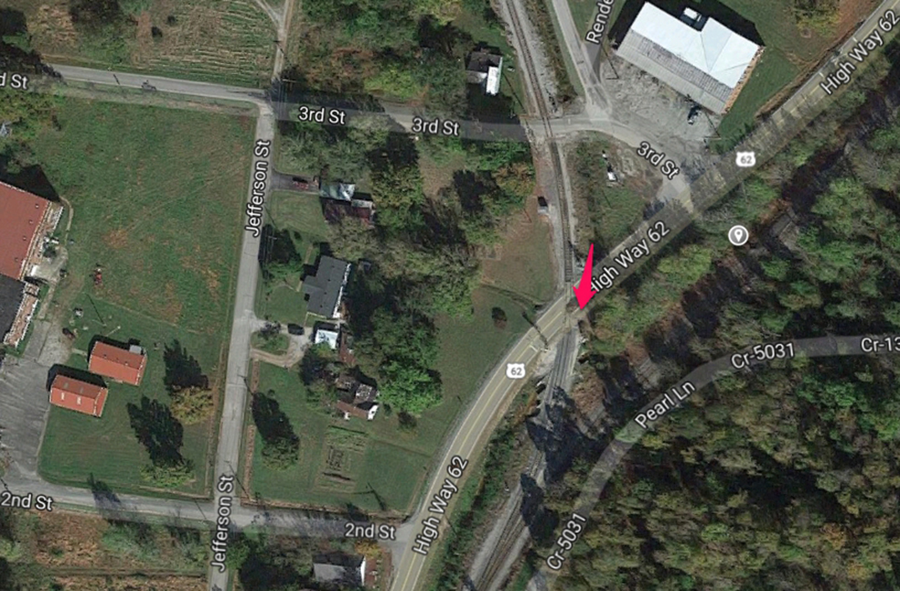
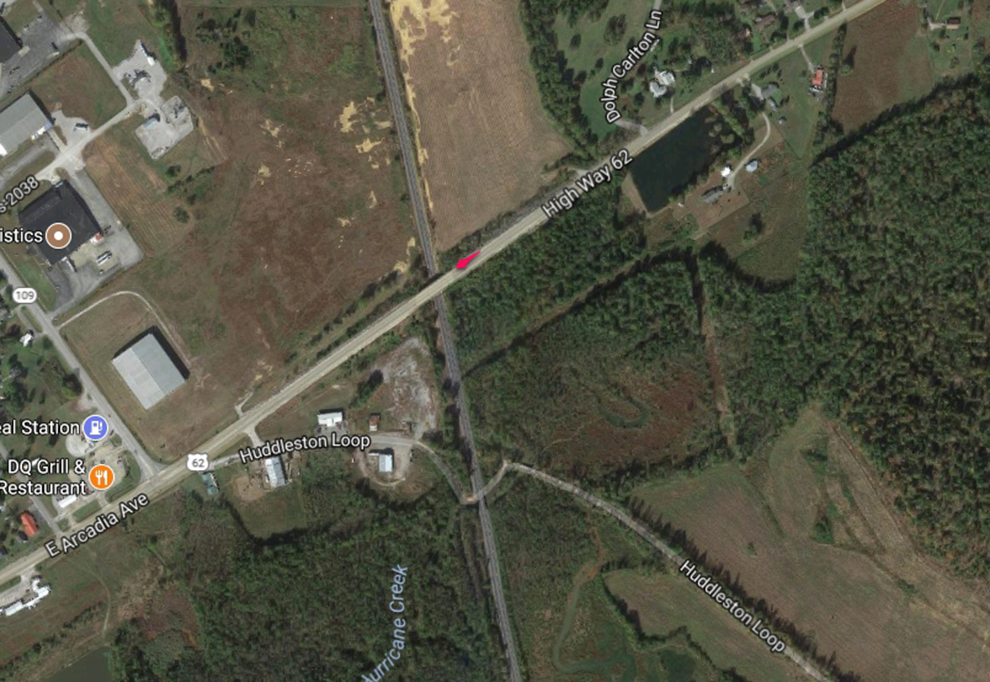
Hwy 62, Big Clifty, Ky Clifty Creek Trestle ↓
This is the best spot for photographing a train in the morning as the trains are frontlit. You have to park at the approach to the bridge over the creek and walk out to photograph the trestle. There’s plenty of space to stand safely but always be aware of traffic as Hwy 62 is busy. I usually follow a train till it get’s close to the bridge and then move into position just before it arrives.
https://www.google.com/maps/@37.5238521,-86.1770296,519m/data=!3m1!1e3
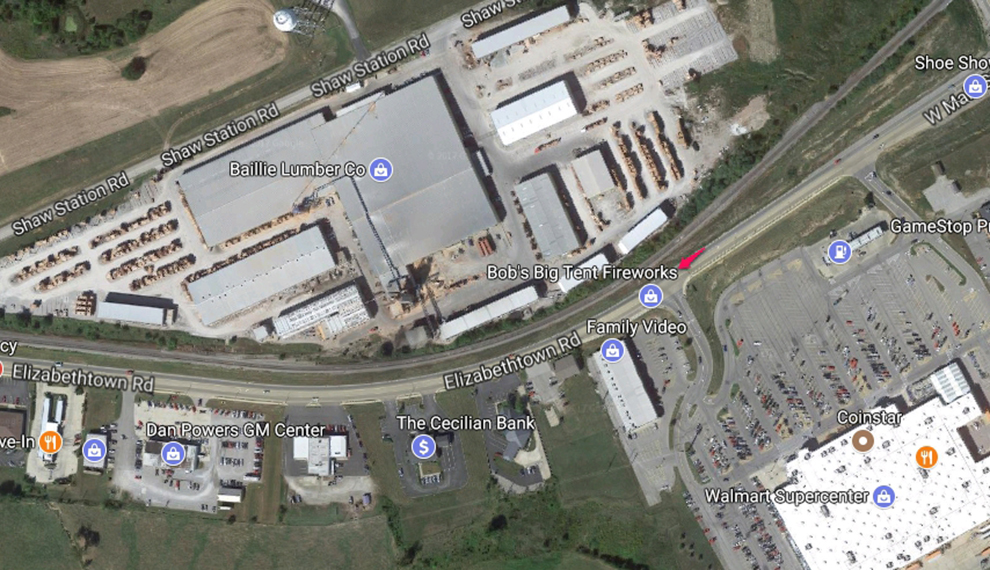
Elizabethtown Rd, Litchfield, Ky ↓
https://www.google.com/maps/@37.486432,-86.2685768,593m/data=!3m1!1e3
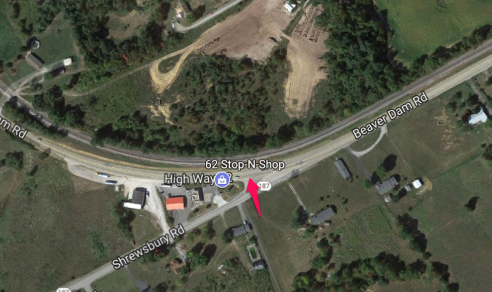
Beaver Dam Road, Litchfield, Ky ↓
https://www.google.com/maps/@37.4693304,-86.3242179,712m/data=!3m1!1e3
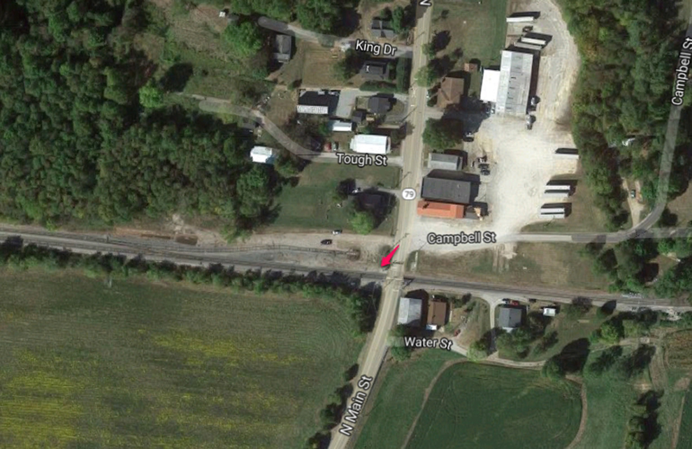
Main St, Caneyville, Ky ↓
https://www.google.com/maps/@37.4280398,-86.4870892,744m/data=!3m1!1e3
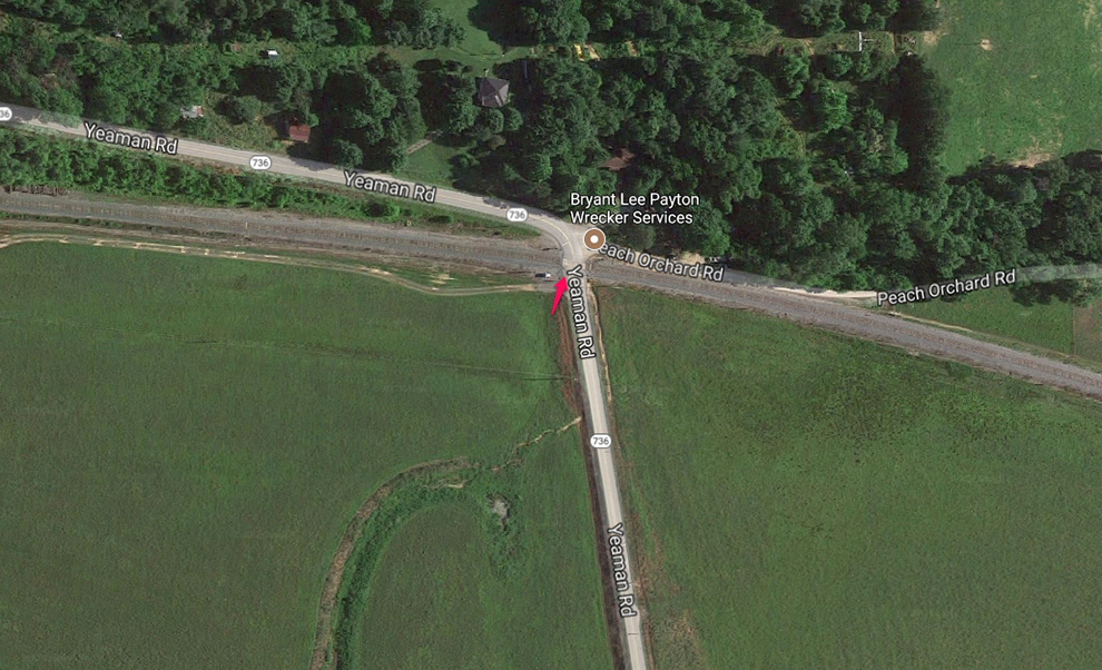
Yeaman Rd, Caneyville, Ky ↓
https://www.google.com/maps/@37.443321,-86.5509097,1049m/data=!3m1!1e3
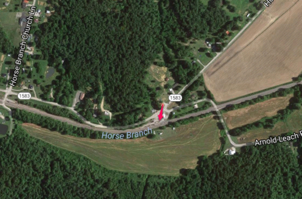
Horse Branch Loop, Horse Branch, Ky ↓
https://www.google.com/maps/@37.4557044,-86.6749258,1523m/data=!3m1!1e3
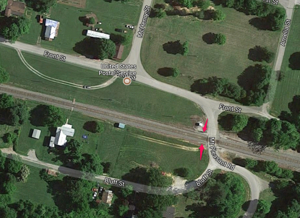
Front Street, Rosine, Ky ↓
https://www.google.com/maps/@37.4476626,-86.7404415,514m/data=!3m1!1e3
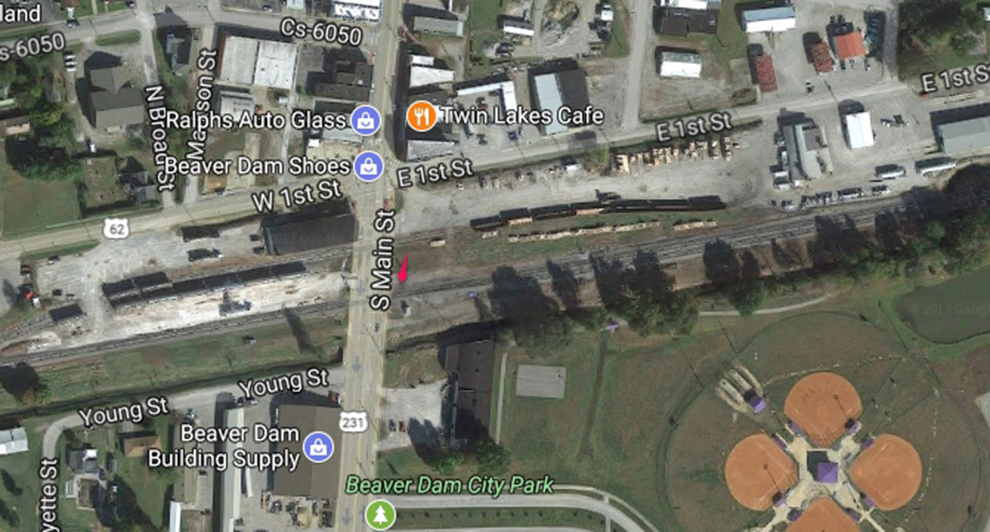
S. Main Street, Beaver Dam, Ky ↓
https://www.google.com/maps/@37.4013193,-86.8745783,921m/data=!3m1!1e3
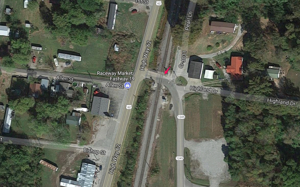
Hwy 62 1 & 2, McHenry, Ky ↓
https://www.google.com/maps/@37.382268,-86.9210338,643m/data=!3m1!1e3
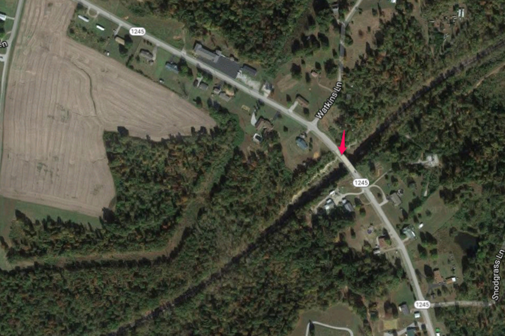
Hwy 1245 Bridge, Rockport, Ky ↓
This location is on a bridge over the tracks. Not a lot of traffic and plenty of safe space for shooting. You’ll be looking down a big cut.
https://www.google.com/maps/@37.3345593,-86.9658472,1288m/data=!3m1!1e3
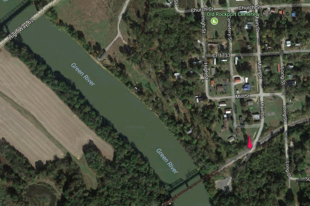
Main St, Rockport, Ky ↓
This is where the PAL trains cross the Green River on a drawbridge. You can shoot looking down the throat or from the side here. This road dead ends at the boat ram so it’s not real busy.
https://www.google.com/maps/@37.3330508,-86.9983285,1309m/data=!3m1!1e3
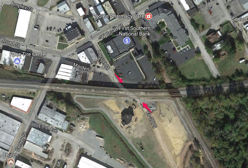
Locust St, Central City, Ky ↓
The tracks go up a viaduct through here.
https://www.google.com/maps/@37.2917525,-87.1261158,771m/data=!3m1!1e3
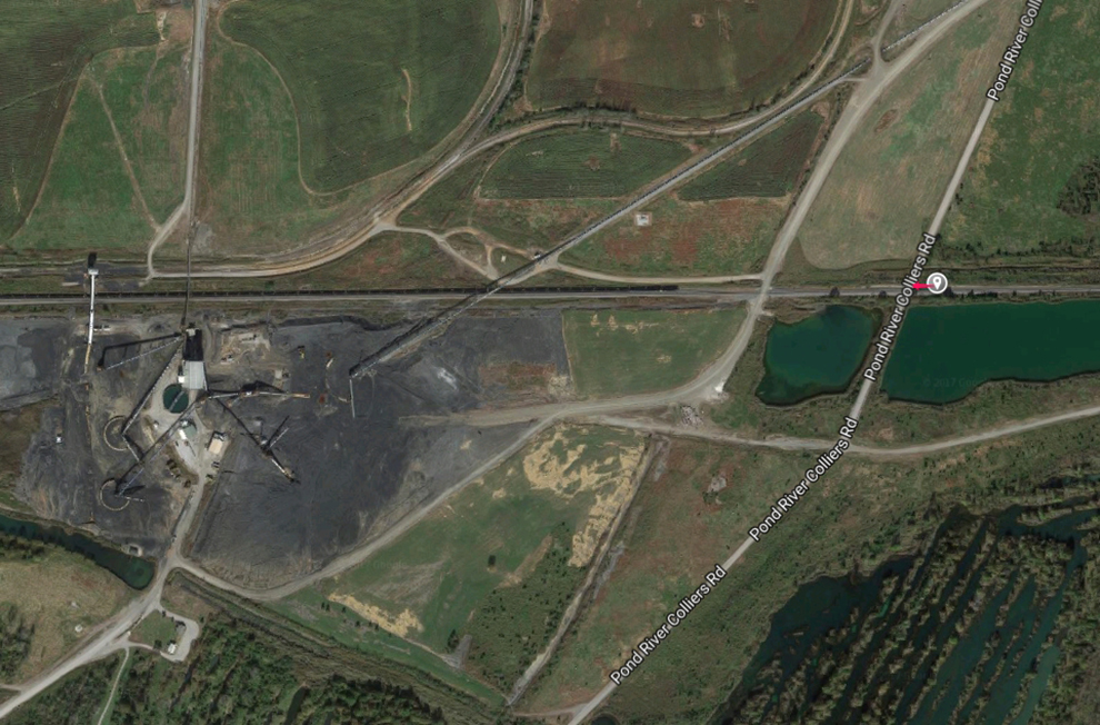
Pond River Colliers Rd, Madisonville, Ky ↓
A loaded train departs from here (called East Diamond or Alliance Coal) typically MWF somewhere between 4-5 pm CST and heads for Louisville Gas and Electric in Louisville. The empties come from Louisville on the same days at the two trains meet and the crews switch out. Where this meet takes place varies. I’ve see them meet in Beaver Dam and Caneyville.
https://www.google.com/maps/@37.3097495,-87.428212,1629m/data=!3m1!1e3
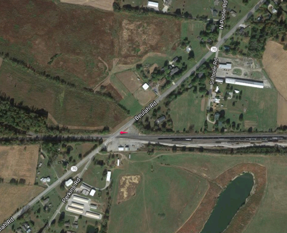
MP 149.5 – Beulah Rd, Madisonville, Ky PAL West Yard ↓
This is PAL’s West Yard in Madisonville, Ky. You can usually find the local arriving here around 3-3:30pm CST M-F where it goes to CSX Atkinson Yard in Madisonville to do interchange work. Usually heads back toward Princeton from West Yard between 5-6 CST depending on how much work the do. The Warrior Coal Wye and Lead is just down the tracks to the south of the crossing here. If you look at the google map you’ll be able to find your way back there. Click on the Warrior graphic to get a google map.
https://www.google.com/maps/@37.3068176,-87.5382351,1567m/data=!3m1!1e3
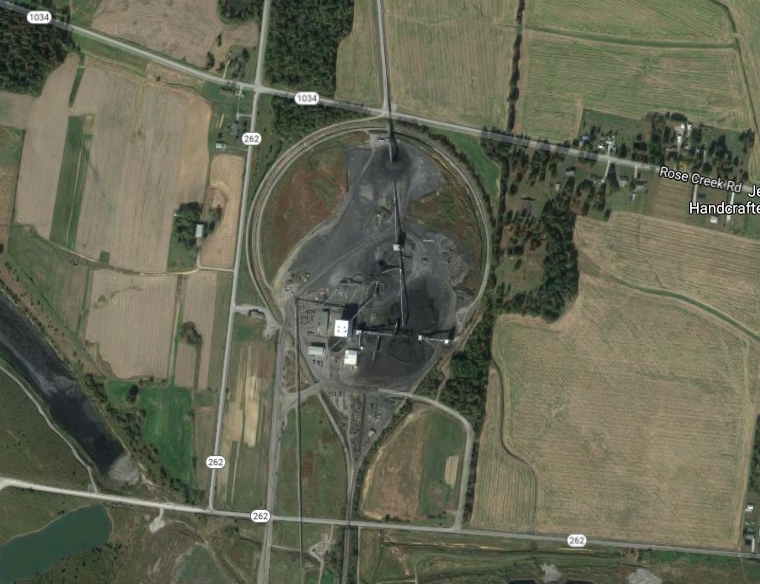
Warrior Coal Loadout
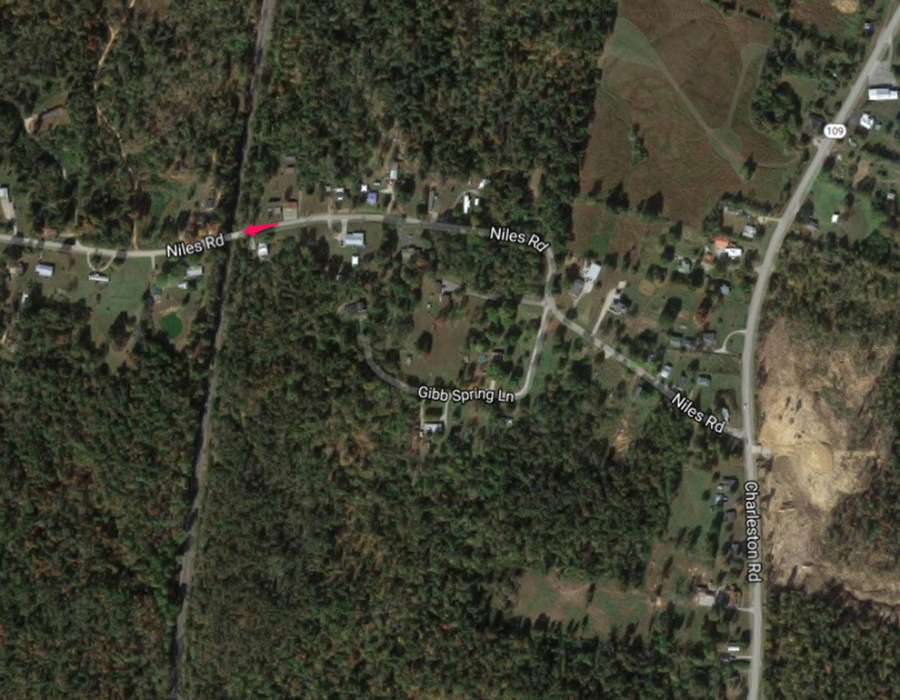
Niles Rd, Charleston, Ky ↓
This is a bridge over the tracks where the trains come through a deep cut. While the the traffic isn’t busy keep a look out for locals that drive too fast! It’s a short bridge.
https://www.google.com/maps/@37.2190941,-87.6815696,369m/data=!3m1!1e3
Hwy 62, Dawson Springs, Ky ↓
This is the Hwy 62 bridge that goes over the tracks at Dawson Springs. It’s a busy highway and you’ll have to park back down the approach to the bridge and walk up. There is a very wide breakdown lane on it. Just be careful. Here you also have a siding where trains pass.
https://www.google.com/maps/@37.1762428,-87.6752581,924m/data=!3m1!1e3
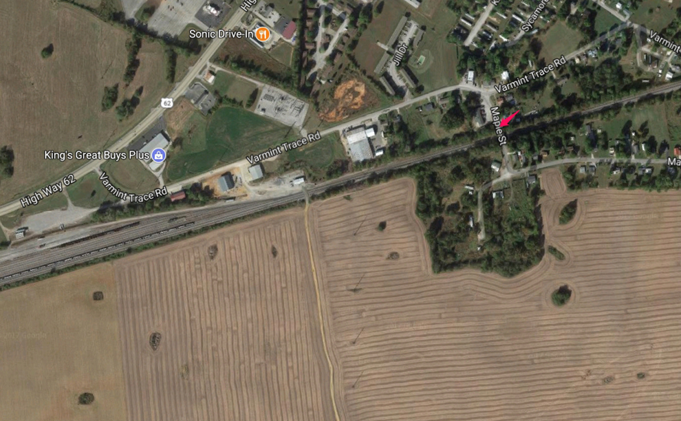
Maple St overpass, Princeton, Ky PAL Yard ↓
Nice spot to shoot trains coming south into the Princeton yard or going north towards Louisville. A longer lens lets you get into the yard more. The local to Madisonville usually leaves between 1-2 pm M-F CST.
https://www.google.com/maps/@37.1078602,-87.8996392,639m/data=!3m1!1e3
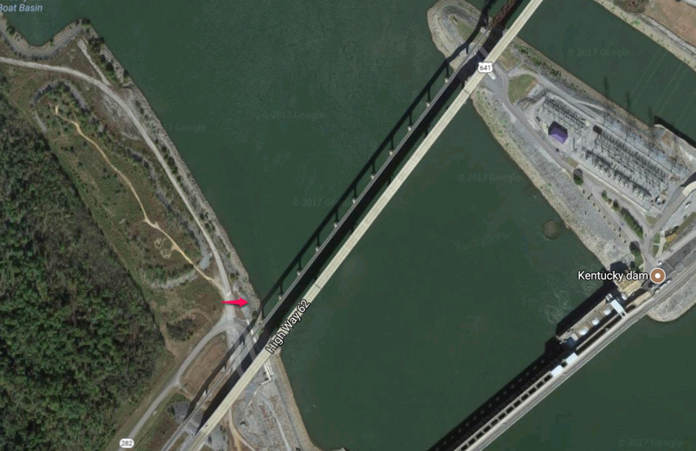
Kentucky Dam, Gilbertsville, Ky ↓
This is a good bridge shot location. Lighting is best in the afternoon.
https://www.google.com/maps/@37.0136122,-88.2738538,770m/data=!3m1!1e3
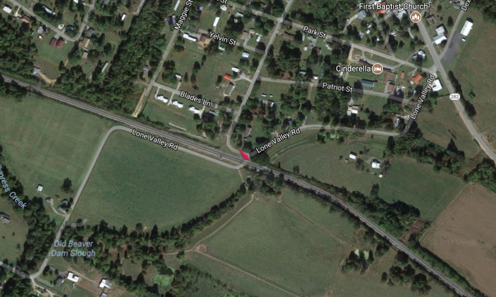
Lone Valley Rd, Gilbertsville, Ky ↓
https://www.google.com/maps/@37.0223269,-88.3044268,1078m/data=!3m1!1e3
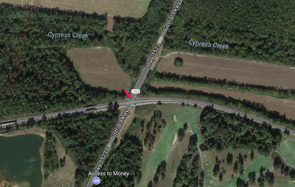
Industrial Pkwy, Calvert City, Ky ↓
https://www.google.com/maps/@37.0284164,-88.3272371,1080m/data=!3m1!1e3
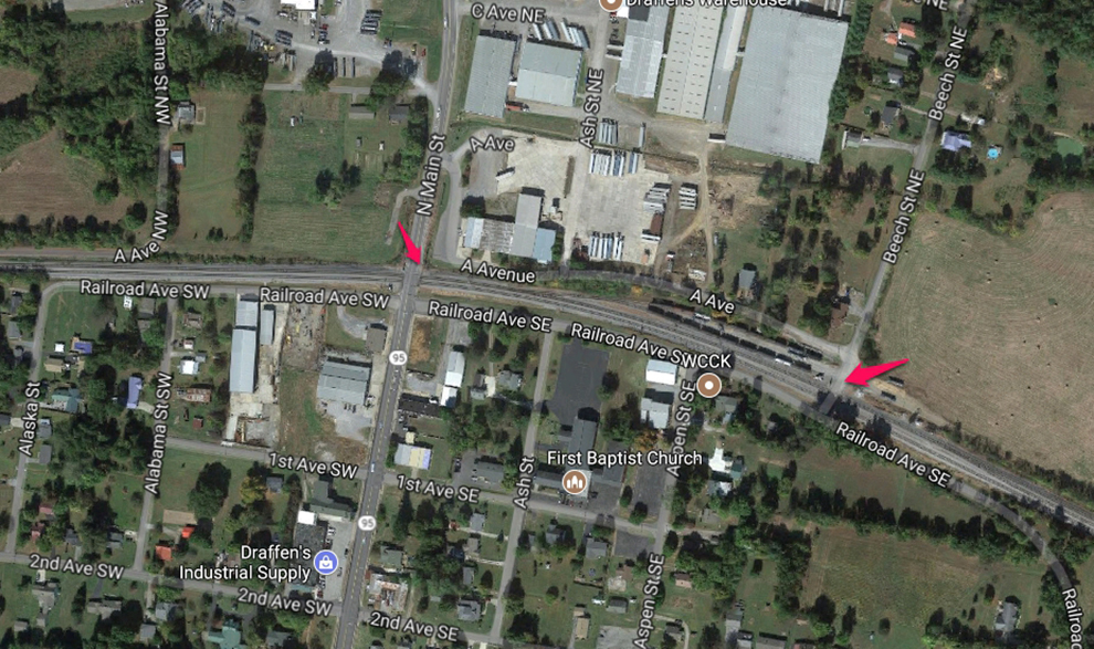
Railroad Ave, Calvert City, Ky ↓
https://www.google.com/maps/@37.0315275,-88.349703,1078m/data=!3m1!1e3
There’s a bunch of spots around Calvert City to shoot, including the industrial area as PAL works pickups and dropoffs there daily. It’s also double track through the city and sometimes they do crew changes here.
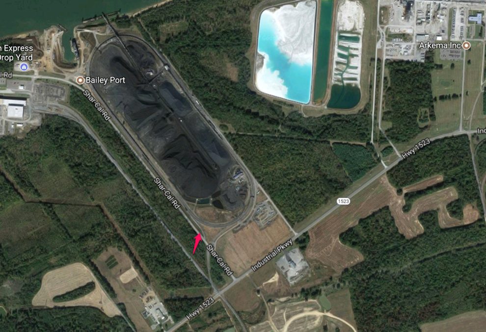
Calvert City Coal Loadout, Calvert City, Ky ↓
You can find a lot of different railroads that service this loadout. I’ve caught PAL, CSX, BNSF and UP here. It’s pretty easy to photograph the train from the highway.
https://www.google.com/maps/@37.0478822,-88.3782042,1814m/data=!3m1!1e3
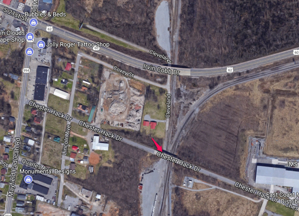
Chester Hack Drive overpass, Paducah, Ky PAL Yard ↓
You’ll have to park on the approach to this bridge and walk out to shoot, if you plan to shoot from here. There is a bit of traffic, but not real bad. There is ground level access off of Cleveland Street that runs along the track. Otherwise, it’s really hard to shoot into the yard. I usually prowl the streets that go around the yard as there’s several where you can drive upto the end of and shoot into the yard.
https://www.google.com/maps/@37.0667316,-88.6095579,1298m/data=!3m1!1e